
Learn to Fly Like a Pilot.
Not Just Pass a Test.
Start your Part 107 training today.
Here for drone services instead? See roof documentation & inspection work
Training
Two ways to learn Part 107.
A self-paced course and live one-on-one coaching. They're separate services, so use one, the other, or both. Either way you pass the test and know what to do at 300 feet over someone else's property.
Meridian Operator Core (self-paced)
Every FAA Part 107 knowledge-test subject area, plus the aeronautical decision-making manned aviation teaches and most drone courses skip. Interactive lessons, not just video.
Get the CourseOne-on-one coaching (live)
Virtual, screen-shared sessions with a working operator. Exam prep, commercial operations readiness, or 24-month recurrent training. Book one hour or a dozen.
See CoachingWhy Meridian
Why learn Part 107 here.
It's taught by real pilots and real drone operators who are still flying commercial jobs. Judgment first, test second.
Taught by real pilots and operators
It comes out of actual commercial flying. Certificated pilots and working drone operators wrote it, not test-prep instructors reading FAA slides back to you.
Judgment, not just answers
You'll pass the 60-question exam. You'll also understand why each rule exists, which is what keeps a job site safe once nobody's grading you.
Manned-aviation training approach
Part 61 ground school teaches airspace, weather, and risk by making you reason through them. We teach Part 107 the same way.
Interactive, not video-only
Hands-on lessons and simulations across all eight FAA knowledge-test subject areas. Chapter 1 is available now and the rest roll out as they're finished.
On your schedule
Work through the course whenever you have the time. If you'd rather be taught live instead, one-on-one coaching is available separately.
Real operations behind it
We're OSHA 30 certified, insured, and flying roof, mapping, and thermal work across greater LA. That day-to-day field experience is where the course content comes from.

How It Works
Three steps from enrolled to certified.
Pick your route
Buy Meridian Operator Core from the store, or book one-on-one coaching if you'd rather be taught live. Either one stands on its own.
Work through the material
Interactive lessons across all eight FAA knowledge-test subject areas, plus real aeronautical decision-making.
Walk in ready
Ready for the Part 107 exam, and for the first paid job that needs a certificate behind it.
Need drone documentation for a property instead? Request a quote.
Showreel
Seeing life cinematically.
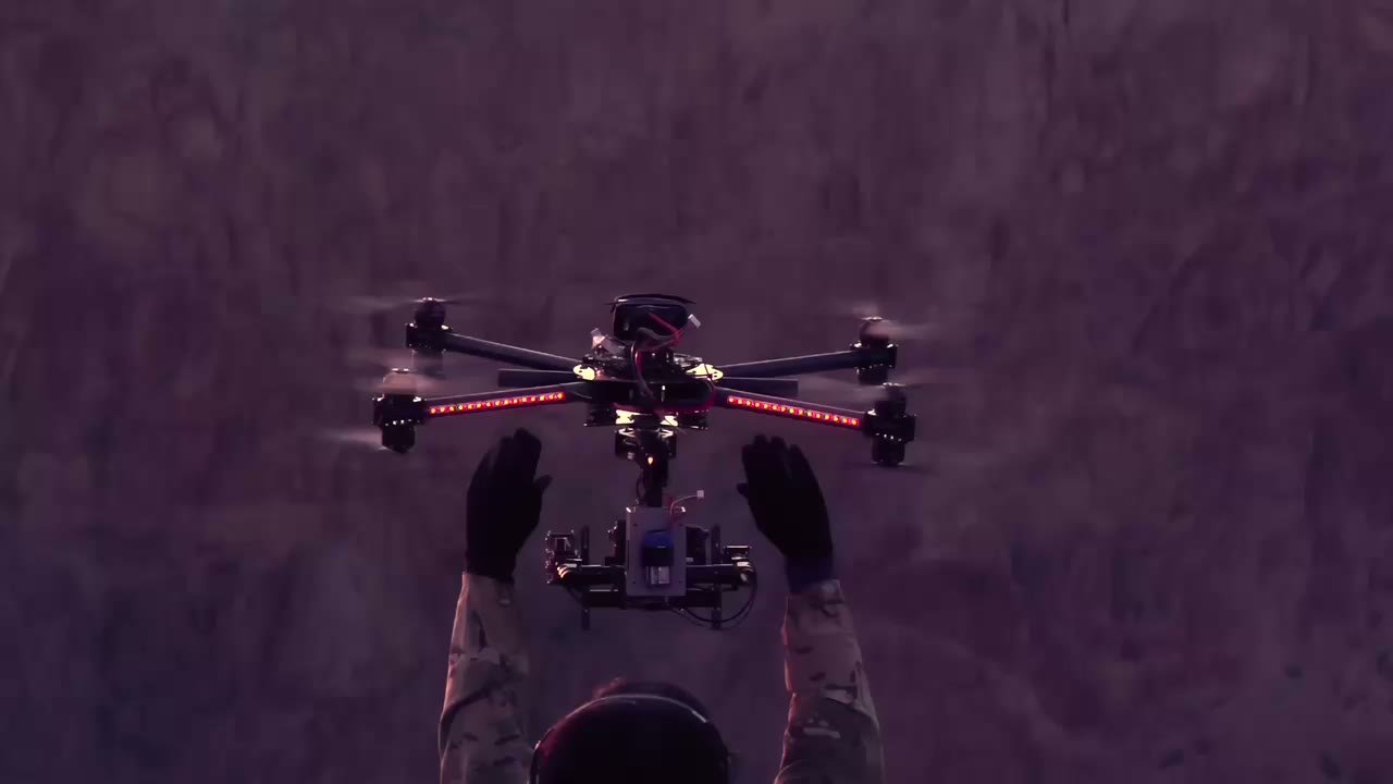
A short reel of recent Meridian flying. Coastlines, ridgelines, and the kind of aerial work the training is built on.
Also available
Meridian also runs real commercial drone operations.
Training is the main thing we do. The flying behind it is real, ongoing client work: roof, mapping, thermal, cinematic, and inspection jobs across the greater LA area. Here's what's available if you need documentation instead of instruction.
Roof Documentation & Imaging
High-res photos of every slope, ridge, valley, flashing, penetration, and gutter line.
Roof Inspection Video
Smooth 4K walkthrough-style flyovers for bids, punch lists, and client handoffs.
Construction Progress Monitoring
Recurring scheduled flights. Same angles every time, so week-over-week comparison is easy.
Before & After Documentation
Pre-job condition records and completed-work showcases you can hand off with pride.
Insurance & Claim Support
Timestamped, organized imagery for supplementing claims and settling disputes.
Marketing & Portfolio Footage
Polished 4K aerial shots of finished projects for your website, listings, and social channels.
Site & Pre-Bid Surveys
Quick aerial overviews before you quote. Measure twice from the office.
Photogrammetry
Structured overlapping imagery to generate accurate 3D models and measurements of roofs, structures, and job sites.
3D Mapping & Modeling
Turn aerial capture into detailed 3D site models for planning, documentation, and client presentations.
Orthomosaic Imagery
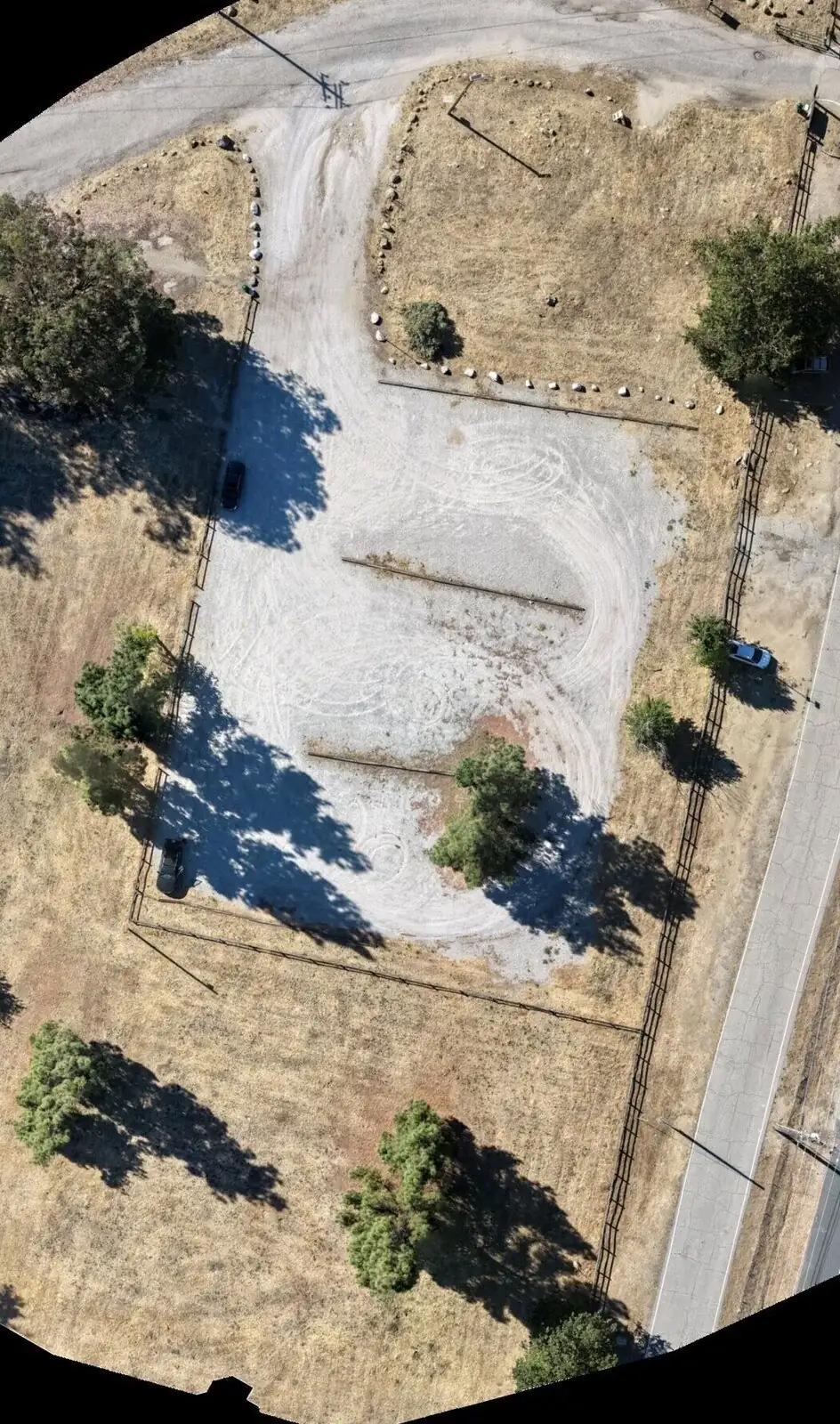
Stitched, geometrically corrected top-down maps of a site. Good fit for large properties, multi-building sites, and precise measurements.
Thermal Imaging Inspections
Thermal imagery finds roof leaks, trapped moisture, insulation gaps, and heat loss. It catches what the eye can't, usually well before it turns into an expensive repair.
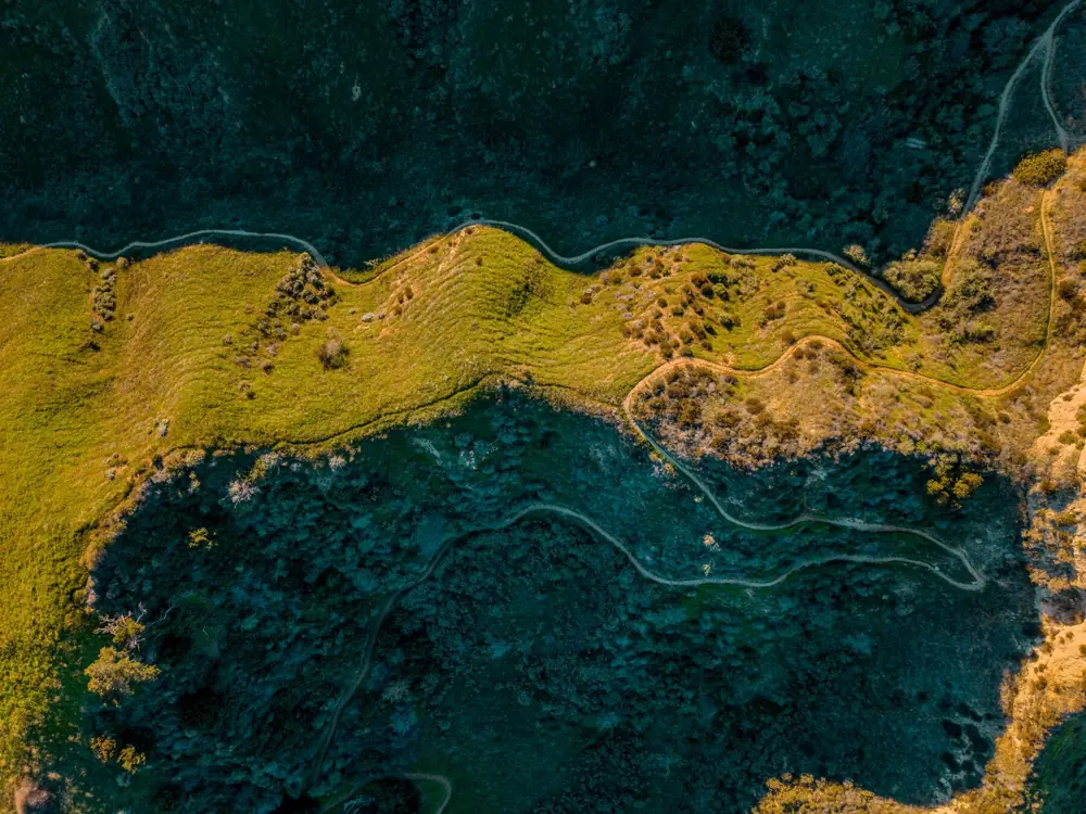
Terrain Mapping
Precision from the air, down to the trail.
It isn't only rooftops. We map full properties, terrain, and trail systems for site surveys, land assessments, and the large or oddly shaped parcels that need accurate top-down documentation.
Sample Output
See what we deliver.
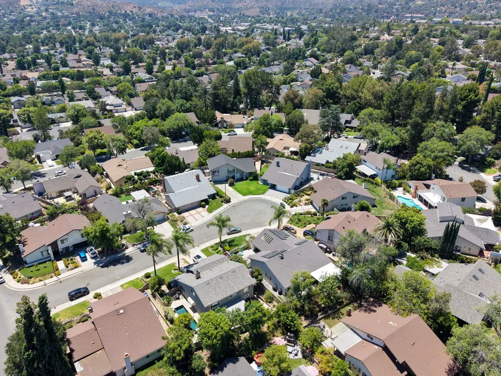
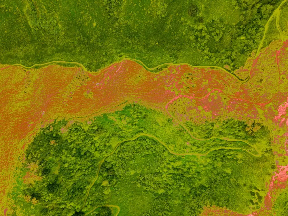
A quick look at the kinds of aerial captures, maps, and inspections we hand off to our clients.
Who We Serve
If you work on buildings, we work with you.
Based in Santa Clarita, serving the greater Los Angeles area.
About
Who's teaching this
Meridian is run out of Santa Clarita by Rohan Bansal, an FAA Part 107 certified remote pilot, licensed manned-aircraft pilot, and OSHA 30 certified construction safety professional. That background is the whole reason the course teaches judgment instead of just answers.
The commercial side of the business is still running: roof, mapping, thermal, and inspection documentation for trades across greater Los Angeles. It's available on request, and it's also where every lesson in the course comes from.
Contact
Get a quote.
Tell us about the job. We'll get back to you within one business day with pricing and next steps.